SERVICES – PROFFESIONAL HELP FOR YOU:
s u r v e y a n d d e s i g n
s u r v e y a n d d e s i g n

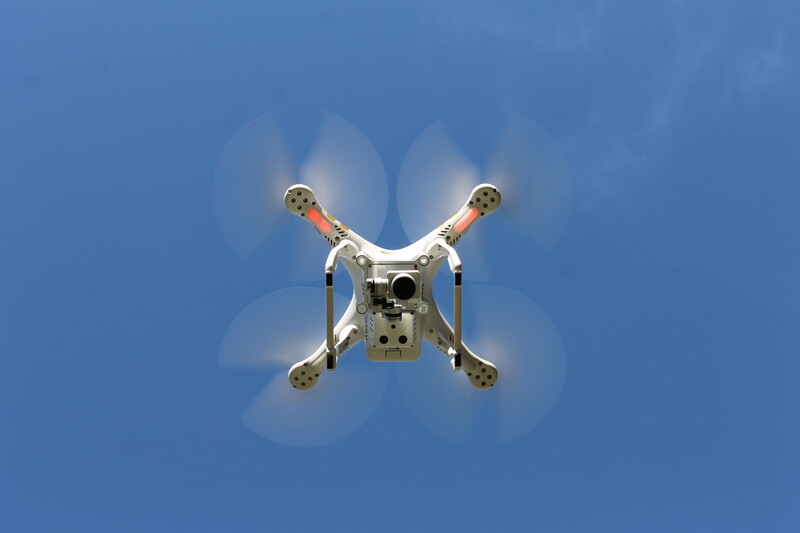
precise custom-made floor plans, elevation, section, topographical survey Technology: -3D laser scanning and drone survey ( very efficient, high accurate modern technology creating 3D point cloud ) – conventional – traditional methode ( tape, laser tape, total station) best and cheap for a small areas
3D visalisation of your building and landscape Your imaginary building and landscape will grow into the breathtaking 3D visualisation according to your preferences with an outstanding design Technology: Mastering ‘3dsMax’ modelling 3D visualization base of floor plans, elevation, section, topographical survey and google earth vs drone survey Projects:
Amazing Interior and Exterior integrated in 3D photo survey model or animation. Virtual walk through the entire space from your office on your PC or smart phone. Where ever you are just using smartphone and ‘VR headset’ or ‘Google cardboard’ you can be part of the 3D photo model. Technology: 3D camera capture data in real time which will be processed into the 3D model followed by virtual walk througout the Hotspot or adjusted animation. Projects:
Movie will be the best seller of your outstanding property inside & outside Enjoy the cup of tea with your client and presentation of the property will present its self for you. You can choose 2D or either 3D using laptop or large screen and 3D glasses. Technology: We will convert your 3D model into the movie to run througout every detail you wish. Projects: